History of Lake Cumberland
Unquestionably the houseboat capital of the world, located in southern Kentucky and the largest lake by volume in the USA east of the
Mississippi River, Lake Cumberland's three state parks, national forest, national river & recreation area, national recreation trail,
major Civil War battleground and national historic site with one of the nation's first national cemeteries, the largest waterfalls east
of the Mississippi River (except for Niagara) with its world famous moonbow, extensive cave systems and high rocky cliffs, dozens of
natural arches, national fish hatchery, record fishing, wildlife that includes bald eagles, bear & elk, 1,200 miles of shoreline, countless
waterfalls and innumerable coves see more visitors each year than Yellowstone National Park. It is truly one of America's premier
recreational regions.
Located in Clinton, Laurel, McCreary, Pulaski, Russell, and Wayne counties in south-central Kentucky in the USA, the lake's shoreline
measures 1,255 miles and the lake is spread over 65,530 acres at the top of the power pool. The reservoir ranks 9th in the U.S. in size,
with a capacity of 6.1 million acre-feet of water, enough to cover the entire Commonwealth of Kentucky with 3 inches of water. The main
lake is 101 miles long and about 1.5 miles across at its widest point, the Beaver Creek confluence with the main lake.
Originally planned from the 1920s and enacted by Congress in the 1930s, with groundbreaking in 1941, early construction of Wolf Creek Dam to
impound the Cumberland River was halted by World War II. Following the war, work resumed and the dam was closed in 1950, beginning what was
originally named Wolf Creek Reservoir. The name "Wolf Creek" comes from the original planned location for the dam, several miles upstream near
the confluence of Wolf Creek with the Cumberland River. Though the location changed, the name remained. The body of water was officially
renamed "Lake Cumberland" in 1954.
Wolf Creek Dam is the 22nd largest dam in the United States. The primary reasons for the dam was for flood control of the occasionally wild
Cumberland River, and for hydroelectric power generation.
The project was constructed by and is managed by the U.S. Army Corps of Engineers (USACE). The Lake Cumberland Resource Manager's office is
located at Burnside on the Pitman Creek section of the lake. The "main office" is the USACE Nashville District headquartered in Nashville, Tn.
The upper lake region is located within the Daniel Boone National Forest, and lake facilities within the national forest are administered by
the USDA Forest Service.
General Lake Cumberland Statistics
- The normal summer pool is around 723 feet above mean sea level.
- The tree line is about 725 feet.
- The maximum pool is 760 feet (top of dam floodgates)
- The top of Wolf Creek Dam is 773 feet.
- Lake is considered at "flood control" level from 723-760 feet.
- Normal power drawdown is between 723 and 673 feet.
- The power generating capacity is considered "dead" below 673 feet.
- At 760 feet elevation, the shoreline of Lake Cumberland is 1,255 miles.
- At maximum possible elevation of 760 feet, Lake Cumberland is considered to be 101 miles long, with a total surface acreage of 65,530 acres.
- Surface acreage at 723 feet is 50,250 acres.
- At minimum power pool of 673 feet, it is 35,820 surface acres.
- Average depth of lake at summer pool of 723 feet above sea level: 90 feet.
- Deepest point in lake: original river channel adjacent to Wolf Creek Dam: 200 feet.
- Depth of river channel upstream of dam to Wolf Creek: generally 160 feet.
- Depth of river channel upstream of Wolf Creek to one mile upstream of Burnside: generally 120 feet.
General Lake Cumberland Statistics
- The shoreline of Lake Cumberland — at the theoretically maximum possible elevation of water — is 1,255 miles.
- The coastline of Florida, not including islands, is 770 miles in length.
- The total Atlantic coastline of the United States from Maine to the tip of Florida is 2,069 miles.
- The total Pacific coastline of the continental U.S. (California, Oregon and Washington) is 1,293 miles.
Lake Cumberland Facts (courtesy U.S. Army Corps of Engineers)—
- Lake Cumberland was filled with water in December 1950, and was constructed primarily for flood control and the production of hydroelectric power at a cost of about $80.4 million. Its shoreline measures 1,085 miles and the lake is spread over 50,250 acres at the top of the power pool.
- Wolf Creek Dam ranks 22nd in the one hundred largest dams in the U.S. and required 11,568,900 cubic yards of material in construction. It is over a mile long at 5,736 feet. (The concrete portion is 1,796 feet long; the earthfill portion, 3,940 feet.) It is 258 feet high at its tallest point.
- The reservoir ranks 9th in the U.S. in size with a capacity of 6,089,000 acre-feet, enough water to cover the entire Commonwealth of Kentucky to a depth of 3 inches. That's roughly 1.9 trillion gallons.
- More than 4.7 million visitors spent 73,252,200 hours in pursuit of recreation and added more than $152,395,044.00 to the local economy in 1999. The number of visitor hours ranks Lake Cumberland 4th in the nation among 383 Corps Lakes.
- Since it was impounded, Wolf Creek Dam has prevented more than $500,000,000 in flood damages for cities and communities downstream.
- The six turbines at Lake Cumberland are capable of producing 270 megawatts of electricity, enough to supply the needs of an average city with a population of 375,000.
- Cost of original dam construction: $81 million
- Cost to repair leak in dam (discovered in 1967) during late 1970s: $96.4 million
- Costs to make major repairs of dangerous seepage through the dam, discovered in 2004, are expected to be around $360 million. Construction is currently underway, and may be finished by 2012-2014.
Lake Cumberland Photos
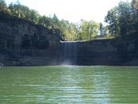
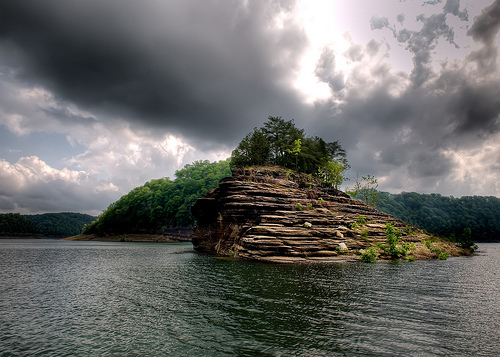
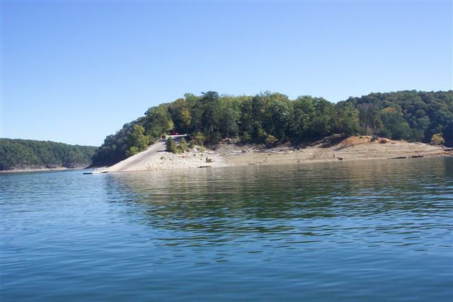
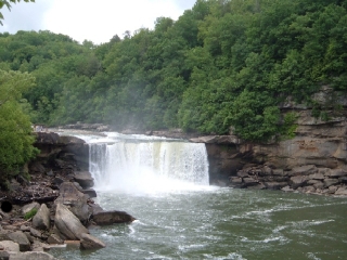

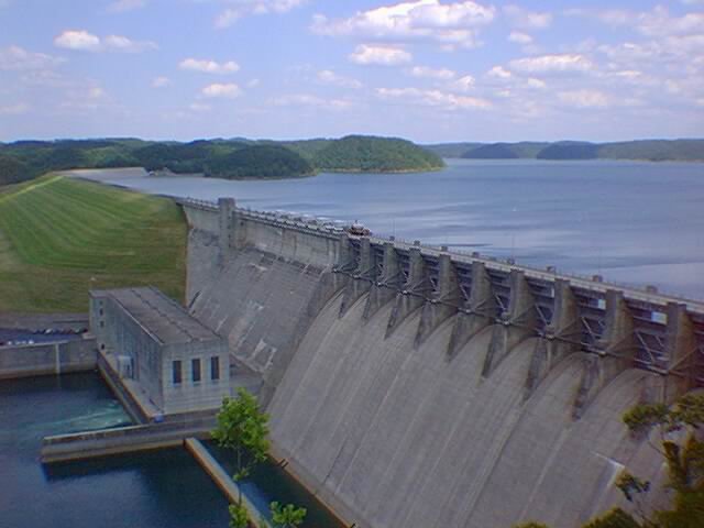
Click here for more Lake Cumberland photos.
Lake Cumberland Links
Lake Cumberland Marinas and Docks
Click on a blue marker to get more information about the dock.
View Lake Cumberland Marina's in a larger map

